-
Twin Peaks with Paola

I had planned on leaving this Thursday after work following a long weekend camping trip for some flying. I invited Paola along for the journey the day before and It was earlier the morning of the flight I realized it was National Burger Day, so we ended up getting them the coolest way I know.
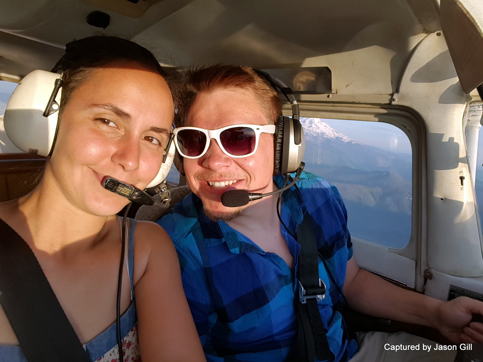
The flight there was gorgeous as the weather was just awesome that day. We took off out of Troutdale and made our way through the Gorge to a new airport to me, the Hood River Airport (Ken Jernstedt Airfield Airport 4S2). On the flight over, I let Paola take the controls and fly us the majority of the way. This gave me a good chance to take some pictures and just relax a bit.

We got up to around 2,000 feet as the elevation for Hood River’s airport is around 600 feet. Once we were at elevation, I took the controls over. I found the airport and did a 45 degree entry into the patter and made our way down to the ground. Once on the ground we taxied to the tie-up area and parked.
 The restaurant was about a quarter mile from where we parked so we got walking and arrived shortly to Twin Peaks. Not your classiest joint, but a good spot for a tasty burger. Their milkshakes are also pretty great. With the flight, it was probably the most expensive burger I’ve ever had, but since it was National Burger Day, I figured we could break the bank a little more than usual.
 Once we devoured our food, we got our things together, made it back to the plane, and took off to the South East towards Mount Hood. We climbed about six thousand feet before getting the view we wanted and then making our way back towards the Columbia river to fly past Multnomah Falls and Crown Point at around 1,500 feet. Always a beautiful site – especially when the sun is coming down.
The landing into Troutdale soon after was nice and smooth to finish quite the enjoyable flight.
Some photos of the flight
Seaplane I Want
While I waited for Paola to show up to the airport, I saw a sweet sea/land plane. This is my ideal plane that I would like to learn how to fly. Such a cool thing to be able to land on both water and land. I’ve done a minor amount of looking into what it would take to get certified, so we’ll see what happens next.
Here’s the track of our flight:
https://docs.google.com/file/d/0BzDM-Q4AVgpKNnphNWRzbU45OFk/edit?usp=drivesdk
Created by Google My Tracks on Android
Name: Twin Peaks With Paola
Activity type: flying
Description: –
Total distance: 177.67 km (110.4 mi)
Total time: 1:13:20
Moving time: 1:09:37
Average speed: 145.35 km/h (90.3 mi/h)
Average moving speed: 153.11 km/h (95.1 mi/h)
Max speed: 249.72 km/h (155.2 mi/h)
Average pace: 0:25 min/km (0:40 min/mi)
Average moving pace: 0:24 min/km (0:38 min/mi)
Fastest pace: 0:14 min/km (0:23 min/mi)
Max elevation: 2105 m (6908 ft)
Min elevation: -26 m (-84 ft)
Elevation gain: 3256 m (10684 ft)
Max grade: 17 %
Min grade: -16 %
Recorded: 5/28/2015 6:00 PMRelated
May 29, 2015 / Jason / 6
Categories: Flights
Tags: $100Burger, Cessna 172, Hood River, K4S2, KTTD, N5201H, Paola, Seaplane, VFR
Columbia Gorge with Jeffrey, JJ, and Ilona Mt. St. Helens with Orion, Bonnie, and Jesse
Comments are currently closed.
6 thoughts on “Twin Peaks with Paola”
Logbook
- Total Flight Time: 318.5 Hours
- Pilot In Command Time: 224.7 Hours
- Solo Time: 300.6 Hours
- >50NM Cross Country Time: 95.2 Hours
- >50NM Cross Country Time (Solo): 62.5 Hours
- Night Time: 8.5 Hours
- Simulated Instrument Time: 4.8 Hours
- Landings (Day/Night): 617 (593/24)
- Flight Training Received: 92.8 Hours
- Ground Training Received: 30.8 Hours
Updated 5/2/2019


Patrick Cheung liked this on Facebook.
Lori Williams liked this on Facebook.
Rick Payne liked this on Facebook.
Jesse Nicola liked this on Facebook.
Amanda Perkins liked this on Facebook.
Sean J Rubbo liked this on Facebook.